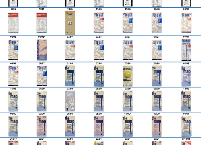
While researching about the disappearing and reappearing Rikers Island on MTA subway maps, we came across this website that has compiled the covers of New York City subway maps from 1924 to 2012. We screenshotted the scrolling website into one jpg file (click image below, then click it again when it opens to enlarge). It’s pretty neat to see the changing evolution of graphic preferences, going from more text (pre-1950s) to illustration (1960s), stylized graphics (1970s), line maps (1980s and 90s), literal map (late 90s), to today’s recognizable “The Map”. … Read More